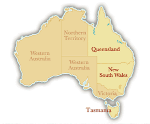
Mersey River
Location: 85 km South of Devonport, 40 km West of Mole Creek
The Mersey River originates in the lake district near Mount Pelion East on the Central Plateau in Northern Tasmania, Australia. Fed by the Dasher and Fisher Rivers, the Mersey River is located 85 kilometers South of Devonport and 40 kilometers West of Mole Creek.
Go Rafting with A Commercial Outfitter
Rafting.com is currently seeking qualified outfitters for Featured Listings in this region. If you are a local rafting outfitter and would like to see your company listed here, please contact us for more information.
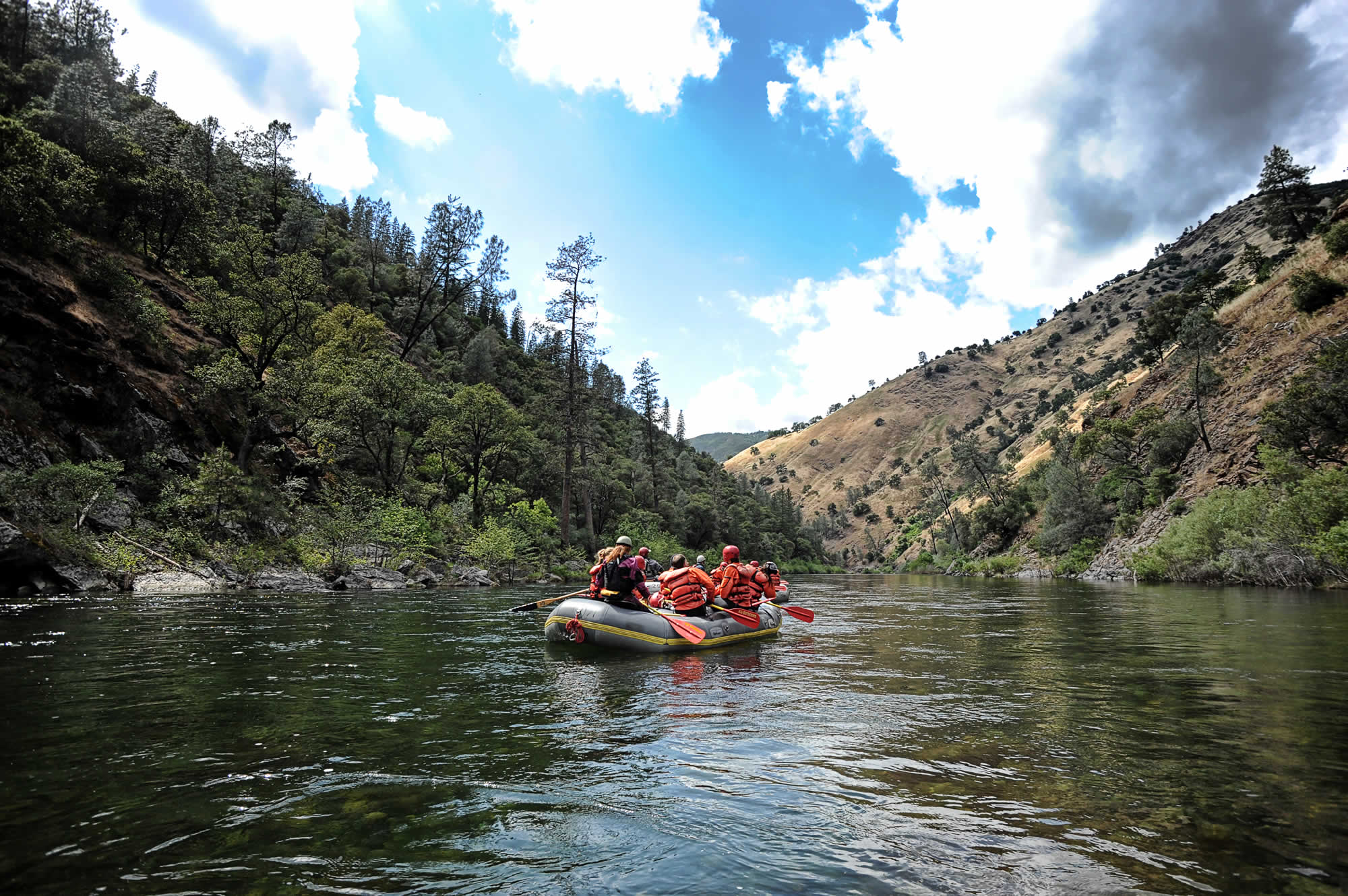
Level of Difficulty: Class III Beginner
The Mersey River is a Class II-III river, suitable for families and/or those who want a more mellow one-day adventure.
The Canyon: Deep, Willow-Lined Canyon
The Mersey River cuts an impressive canyon, of depths up to 2000 feet, before emptying out into the Bass Straight south of Devonport. In its lower valley, the Mersey flows along rolling hills and willow-lined banks past dairy, fruit and potato farms. Calm stretches are interspersed with fun rapids such as “The First Drop”, “Berlin Wall”, and “The Washing Machine”.
Season: November through March
The Mersey River is best caught in Tasmania’s summer months: November – March